
Hustle free mapping of unrecorded underground pipeline network
Mapping of unrecorded underground assets, including pipelines, without disturbing the on-surface conditions for efficient planning of
infrastructure projects is now possible with advanced Ground penetrating radar technology.
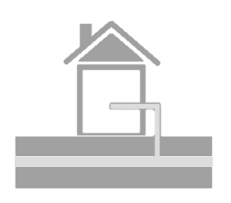
Prevent damage to the existing underground infrastructure
GPR technology can be used as a precautionary measure to map the underground assets before going for HDD (Horizontal directional drilling), utility shifting or before drilling
for piles or boreholes. GeoCarte’s report continues to be an important resource to its esteemed clients for efficient planning of huge infrastructure projects.
Helping you save your project cost
Our accurate results helps you to reduce time duration by proper planning of project execution.
Optimize the requirement of new resources
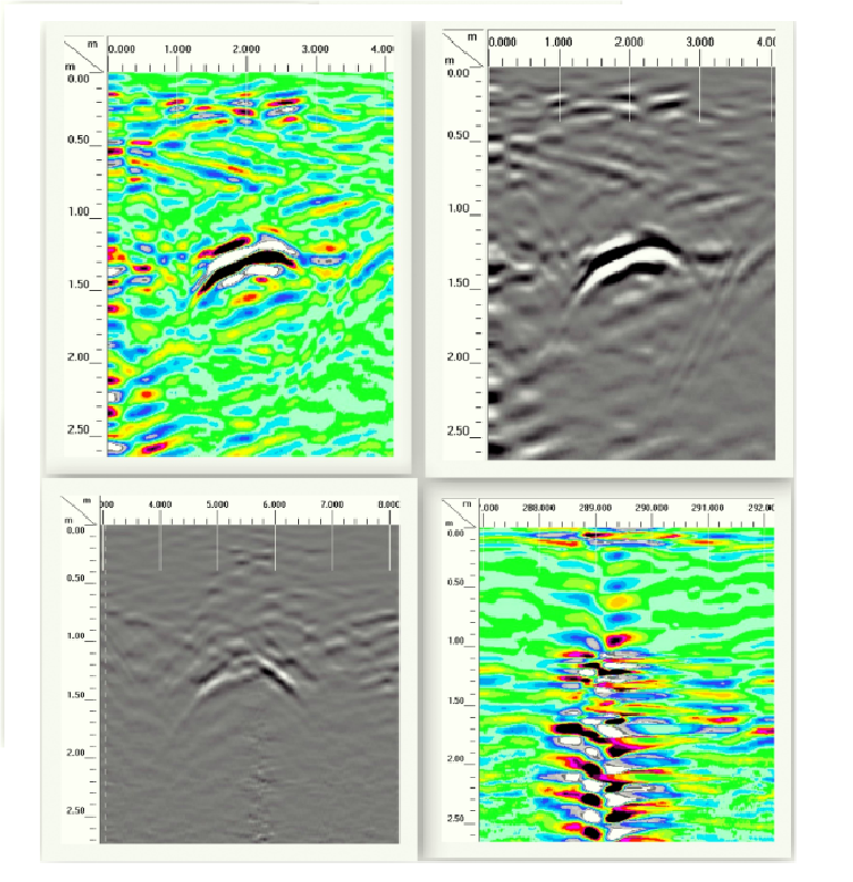
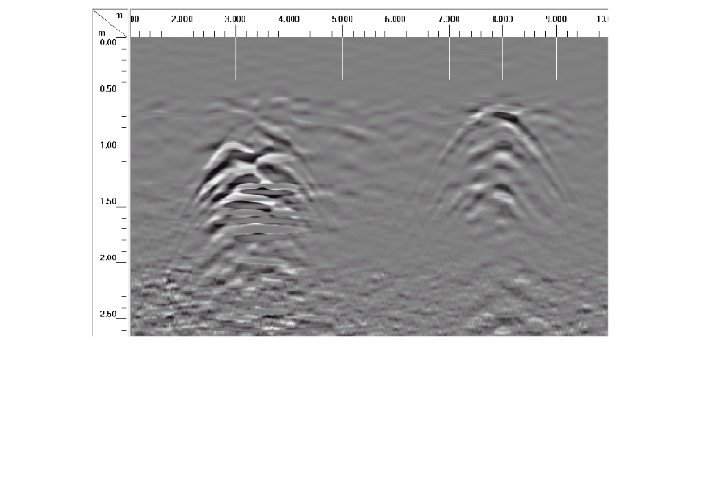
Well-functioning of underground infrastructure is as important as functioning of superstructure for all oil and gas companies. Ground penetrating radar (GPR) offers perfect solution to this starting from the preliminary site investigation before installing to identifying the repairs needs to the existing one.
Hustle free mapping of unrecorded underground pipeline network
Mapping of unrecorded underground assets, including pipelines, without disturbing the on-surface conditions for efficient planning of infrastructure projects is now possible with advanced Ground penetrating radar technology.
Prevent damage to the existing underground infrastructure
GPR technology can be used as a precautionary measure to map the underground assets before going for HDD (Horizontal directional drilling), utility shifting or before drilling for piles or boreholes. GeoCarte’s report continues to be an important resource to its esteemed clients for efficient planning of huge infrastructure projects.
Helping you save your project cost
Our accurate results helps you to reduce time duration by proper planning of project execution.
Optimize the requirement of new resources
Well-functioning of underground infrastructure is as important as functioning of superstructure for all oil and gas companies. Ground penetrating radar (GPR) offers perfect solution to this starting from the preliminary site investigation before installing to identifying the repairs needs to the existing one.
Our Services
Utility Mapping
Highway Inspection

Archaeological survey

Structure inspection

Watertable Mapping

Other Services