Scope of Work:
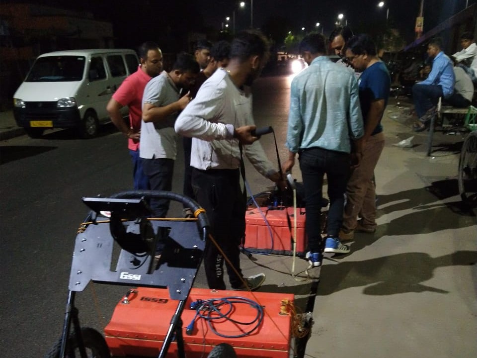
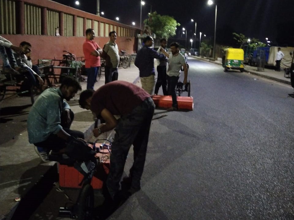
GPR Investigation to map underground along the proposed 3.5km road stretch having width of 30m property line in Kolkata up to the depth of 10m
Location:
Kolkata, West Bengal, India.
Client:
Voyants solution private limited.
Equipment:
GSSI SIR-4000 equipped 400 MHz antenna.
Challenges:
Large number of junctions, heavy traffic, executed at night-time.
Summary:
The utility mapping and GPR survey has been carried out at location Rajabazar to Bagbazar via A.P.C road in Kolkata. The total area scanned consisted of approximately 3.5 Km road stretch with an average width of around 30m. The scope of work included the mapping of possible underground utilities up to the depth of around 10m using non-destructive Ground Penetrating Radar technology. The purpose of the project is to map all underground utilities in order to prevent the damage to the same during the construction proposed elevated corridor. Considering the client's requirements and the expected depth of the utilities, the area has been surveyed using GPR technology by 400 MHz center frequency antenna mounted with SIR 4000 GPR system to cover the depth up to 10m with fair resolution. Surface and buried manholes are also marked in the drawing. Suspected tunnel locations were also marked. A plan view along with sectional views have been generated with marked identified utilities. the located utilities were differentiated as metallic and non-metallic and classified as per ASCE standards.