Scope of Work:
GPR survey execution for mapping underground utilities for planing and smooth execution of highway wodening project
Location:
Siddhpur, Gujarat, India.
Client:
Lea Associates South Asia Pvt. Ltd.
Equipment:
GSSI SIR-3000 equipped with 200 MHz and 400 MHz antenna
Challenges:
inaccessible patches for data collection
Summary:
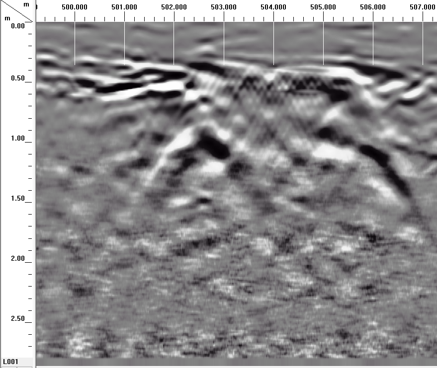
The GPR survey has been carried out at Ahmedabad-Palanpur State Highway near Sidhpur
town of Patan District, Gujarat. The total area scanned was approximately 36000m2 on a
road. The scope of work includes the mapping of possible underground utilities up to the depth
of around 6-7 m using non-destructive Ground Penetrating Radar technology. The purpose of
the project was to map all the underground utilities and to prevent the damage to the same
during expansion work of 4 lane road to 6 lanes. Considering the client's requirements and
the expected depth of the utilities, the area has been surveyed using two antennas of center
frequencies 200 MHz and 400 MHz mounted on SIR 3000 GPR system to cover the depth up
to 6-7 m with fair resolution. The purpose of the survey was to map all the underground
utilities viz. cables, water lines, gas lines, sewer line etc. up to the depth of 8 m using
non-destructive technology. The whole data is collected depending on the site condition and
maximum accessibility of the road. Numerous parallel profiles have been collected across the
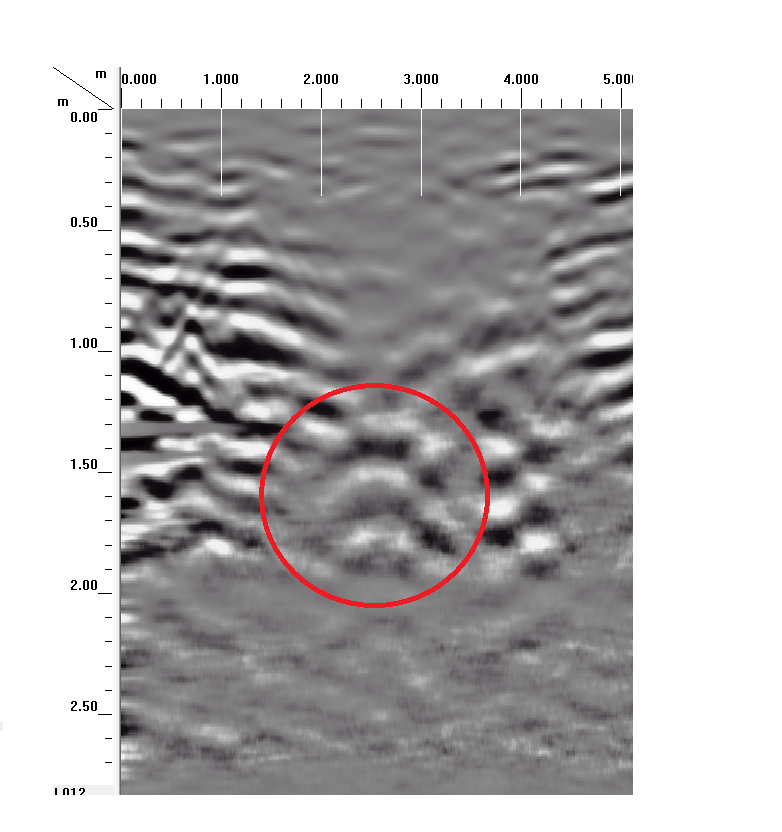
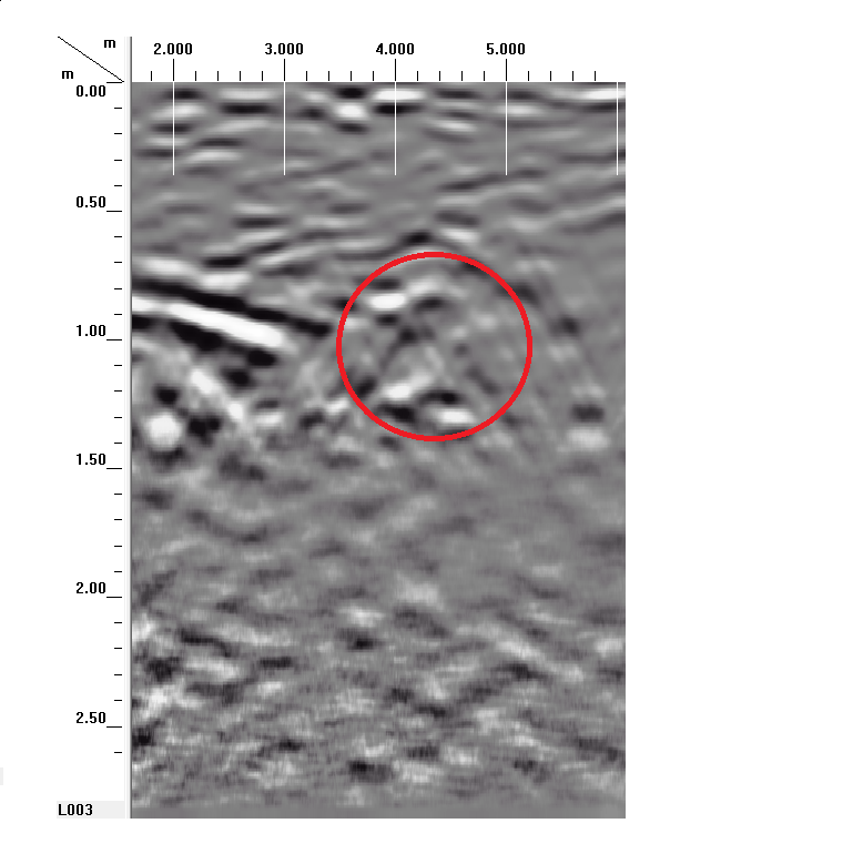
width of the road at a spacing of 5 m. Overall 31 along the road utilities and four across the road utilities are found to exist
at different depth range.