Scope of Work:
GPR survey execution for mapping underground utilities to ensure 30 m wide clear stretch for smooth installation of new pipeline in Dahej
Location:
Ahmedabad, Gujarat, India.
Client:
Simplex Infrastructure Limited
Equipment:
GSSI SIR-3000 equipped with 200 MHz and 400 MHz antenna
Challenges:
Undulated land for data collection, industrial area having chemical contaminated medium, weak signal GPR data
Summary:
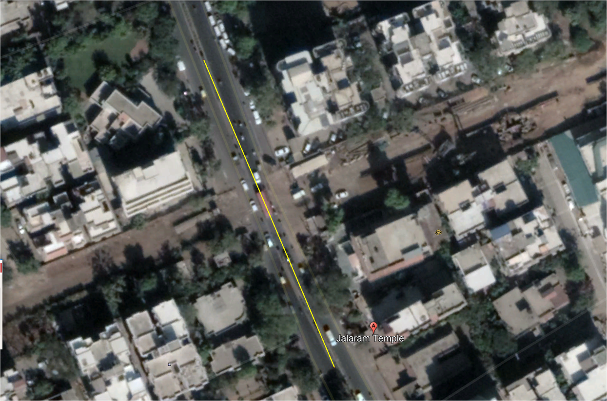
The GPR survey has been carried out at proposed metro station site near Paldi area of
Ahmedabad. The total area scanned was approximately 3000m2 in 2 different patches on the
main road. The scope of work includes the mapping of all possible underground utilities up to
the depth of around 6-7.5 m using non-destructive Ground Penetrating Radar technology. The
purpose of the project was to locate all the underground utilities so as to acquire a clear space
for constructing the metro station and to prevent the damage of existing underground utilities
during the project execution. Considering the client's requirements and the expected depth
of the utilities, the area has been surveyed using 200 MHz and 400 MHz center frequency
antennas mounted with SIR 3000 GPR system to cover the depth up to 6-7.5 m with the
fair resolution. The purpose of the survey was to map all the underground
utilities viz. cables, water lines, gas lines, sewer line etc. up to the depth of 6-7.5 m using
non-destructive technology with the aim of constructing a metro station without damaging
the already existed underground utilities. The whole data is collected in two patches of the
main road. Numerous parallel profiles have been collected across the width as well as along
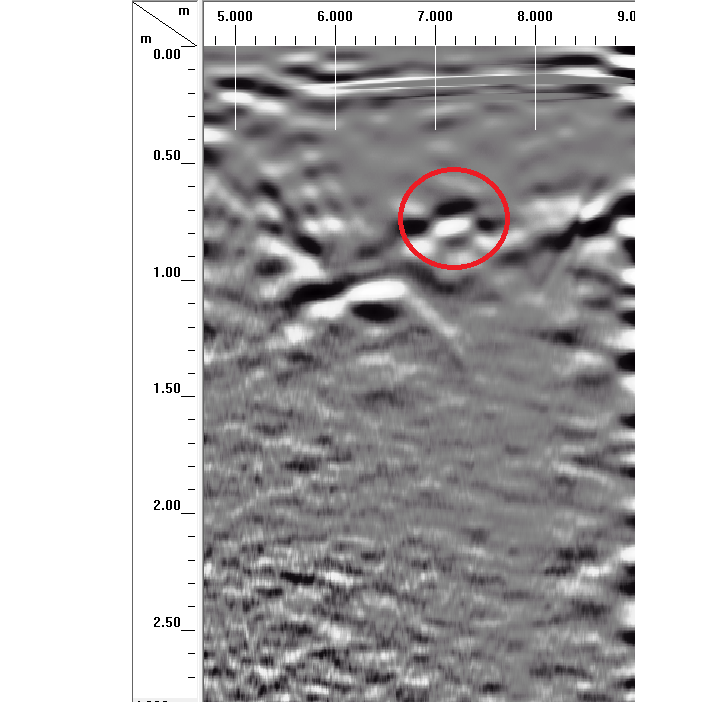
the length of the road at a spacing of 3 m. Overall eleven utilities are observed along the road at proposed station site. Surface and buried manholes are also marked in the drawing.
Several higher reection points are also marked in the drawing.
However, no utility is found to exist at a depth greater than 4.6 m.