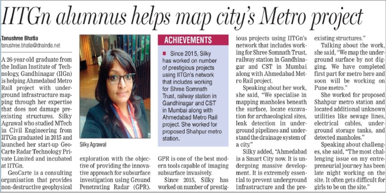
We at GeoCarte intends to serve its clients more than their expectations with its innovative approach for all subsurface mapping needs. Analysis and interpretation of GPR weak signal data has been GeoCarte’s forte to ensure accurate mapping of underground structure from its inception.
Advanced analysis & better interpretation of weak signal GPR data
Enhanced image resolution over conventional methods of GPR data analysis
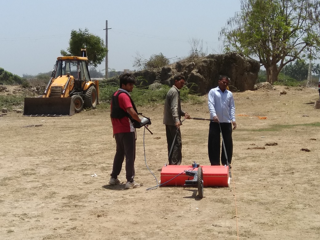
Satisfactory results even in wet clayey soils where conventional GPR tools fails
Most time and cost effective solution for large amount of GPR data
We can use GPR to scan almost everything within our range, from Highways to open ground, floors to slabs, exodus streets to railway tracks for subsurface utility mapping. We ensure that everything gets resolved through our state of the art approach anything related to Ground Penetrating Radar. GeoCarte’s skills combined with multifaceted talent has translated into GPR services in whole spectrum of domain including underground utility mapping, concrete structure scanning, transport infrastructure inspection and archaeological investigation using advanced GPR technology.
Service Utilities:Gas,Sewer,Waterpipes,Metallic and Non-Metallic pipes
Railway Ballast Inspection,Access the pavement Condition
Locate Archaeological features,Map potential site for exploration
Locate voids in Concrete Structures,Measurement of Slab Thickness
Map underground water table
Tunnel and Landmine Detection,Mineral Exploration
GeoCarte provides comprehensive professional high-end Geo-Exploratory services using advanced Ground penetrating radar (GPR) technology to map underground infrastructure without digging. We leverage our expertise for all kind of sub surface explorations ranging from utility mapping to archaeological investigations, assessing the concrete structure condition and leakage detection. We at GeoCarte are capable of providing satisfactory output results even in challenging site conditions where conventional GPR analysis tool fails. Analysis and interpretation of GPR weak signal data has been GeoCarte’s forte to ensure accurate mapping of underground structure from its inception. The complexity of GPR projects undertaken by GeoCarte has varied widely from utility mapping on roads to industrial areas to scanning for artifacts at archaeological sites. The company’s efficiency in handling the complex projects in this domain has won appreciation from its esteemed clients. GeoCarte has proved its competency in the field of Ground penetrating radar through its numerous completed and on-going projects. At GeoCarte , GPR services along with in-house developed advance analysis tool make it effective to be implemented even in difficult site scenarios viz, high clay content, high moisture content, etc. Our journey started way back in 2015, when a research oriented team at IIT Gandhinagar perceive the scope of GPR technology. With the intent to cater the fast growing Indian Infrastructure industry GeoCarte Radar Technology Pvt. Ltd. was born. GeoCarte is Redefining the way Sub surface investigation is done.
Quality
Innovation
Precision
Fun
October 10'17
October 22'17
"Exploration by real people inspires us." - Stephen Hawking